All Places
Stories and photos added to the map, newest first.
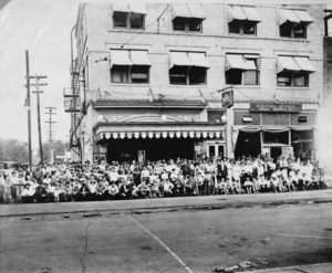
Old Lyric Hotel and Post Office
Now the Theatrical Shop


Cairo Lake
Large lake that was drained at some point after 1875. https://ir.uiowa.edu/cgi/viewcontent.cgi?article=1167&context=igsar


Strawberry Point
Housing development


Crown
Crown was a town and school in Decatur county
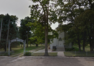
Ashton Cemetery and Church
Cemetery founded in 1862, church built later in 1897.
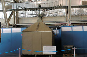
Dallas Center Air Force Station
Former site of a US Air Force radar station, closed in 1957. Now the site of Hilltop Farms, the radar tower and a related structure are still there! See: https://en.wikipedia.org/wiki/Dallas_Center_Air_Force_Station
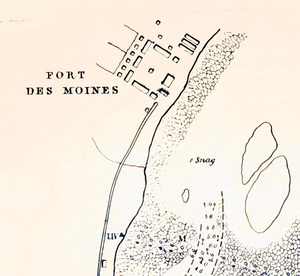
Original Fort Des Moines
Did you know the first Fort Des Moines was in Montrose, in far South Eastern Iowa? Established in 1834 by the Dragoons, the fort was abandoned in 1837. Montrose is also noted for being the residence of Bringham Young and other early Mormon leaders, and is directly across the river from Nauvoo, Illinois. The fort map displayed here was created by Robert E. Lee!
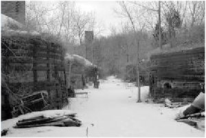
Redfield Bridge & Tile Works
See: http://iagenweb.org/dallas/twp/union/redfield-tile-co.htm

E 2600 block Wisconsin Ave
Liv d in this location from 1953 to 2014.


1916 Flood Creek Train Wreck
This is the site of the train wreck in 1916